
DGPS SURVEYORS
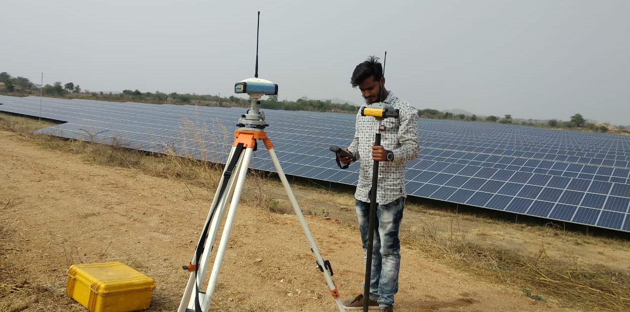
DGPS Surveyors have been using GPS to do extremely precise surveys for years, fixing points with relative accuracy on the order of millimeters. However, in many surveying applications, the job isn't just locating a point according to latitude and longitude, but rather fixing the positions of a group of points in relation to each other.
Geo Positioning System GPS Surveys can be any kind of survey prepared using GPS equipment. Normally, a survey involves several people who use electromechanical and mechanical equipment that help them in measuring and collecting data about any Section of land. This equipment may include a compass, measuring tapes, calculators, and much more. The precision of data in a survey depends on the area of the land under survey. Line of sight also plays an important role in traditional surveys as most of the measurements are manually done. With the availability of GPS survey equipment, the need for several people is eliminated while also replacing the traditional equipment that often produce Incorrect results if not maintained properly.
Our Land Survey Clients Include: |
• Property Owners |