Welcome to Deccan Survey Solutions - Your Premier Surveying Partner in Hyderabad, Telangana

Our Services
- Land Surveying: Precise measurement and mapping of land boundaries for construction, development, and legal purposes.
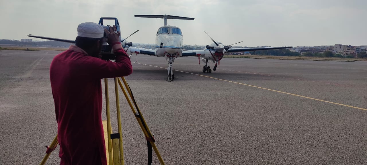
- Total Station Surveying: Advanced surveying technique using electronic distance measurement and angle measurement for accurate data collection.
- DGPS Surveying: Differential GPS technology for high-accuracy positioning and data collection, ideal for large-scale projects.
- Contour Surveying: Detailed mapping of land topography to determine elevation changes for planning and development.
- Drone Surveying: State-of-the-art aerial surveys using drones for efficient, high-resolution data collection in hard-to-reach areas.
Why Choose Deccan Survey Solutions?
- Experienced Professionals: Our team comprises highly skilled and certified surveyors with extensive experience in various surveying techniques.
- Cutting-Edge Technology: We utilize the latest surveying equipment and software to deliver accurate and reliable results.
- Customized Solutions: We understand that each project is unique. We offer tailored solutions to meet your specific requirements.
- Commitment to Quality: Quality and accuracy are at the core of our services. We adhere to strict quality control measures to ensure the best outcomes.
Industries We Serve
- Construction
- Real Estate
- Infrastructure Development
- Agriculture
- Environmental Studies
- Government Projects
Contact Us
Ready to start your next project? Contact Deccan Survey Solutions today to learn more about our services or to request a quote.
Get Free Quote
